 vesseltracker.com
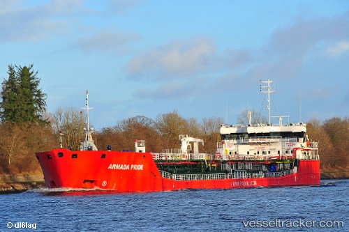
Vessel Mustafa Necati IMO: 9736690, MMSI: 636020407 Chemical Tanker
UTC, 44.12965, 28.81569, course: 29, speed: 0.5
UTC, 44.12978, 28.81575, course: 26, speed: 0.8
2026-02-03 12:20:52 UTC, 44.12976, 28.81570, course: 29, speed: 0.6
Live AIS position:
UTC. Near Constanta),
updated 2026-02-03 12:20:52 UTC.
Find the position of the vessel Mustafa Necati on the map. The latter are known coordinates and path.
marine traffic ship tracker show on live map
The current position of vessel Mustafa Necati is 44.12976 lat / 28.81570 lng. Updated: 2026-02-03 12:20:52 UTCCurrently sailing under the flag of Liberia
Details:
Last coordinates of the vessel:
UTC, 44.12952, 28.81597, course: 27, speed: 0.2UTC, 44.12965, 28.81569, course: 29, speed: 0.5
UTC, 44.12978, 28.81575, course: 26, speed: 0.8
2026-02-03 12:20:52 UTC, 44.12976, 28.81570, course: 29, speed: 0.6