 vesseltracker.com
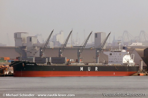
Vessel African Baza IMO: 9738753, MMSI: 311000384 Bulk Carrier
UTC, -50.10787, -65.42341, course: 206, speed: 14.7
UTC, -50.17500, -65.47833, course: -1, speed: 14
2026-01-20 00:26:14 UTC, -50.40910, -65.66767, course: 206, speed: 14.4
Live AIS position:
UTC. 104 nm SE of Puerto San Julian),
updated 2026-01-20 00:26:14 UTC.
Find the position of the vessel African Baza on the map. The latter are known coordinates and path.
marine traffic ship tracker show on live map
The current position of vessel African Baza is -50.40910 lat / -65.66767 lng. Updated: 2026-01-20 00:26:14 UTCDetails:
Last coordinates of the vessel:
UTC, -49.92667, -65.26167, course: -1, speed: 15UTC, -50.10787, -65.42341, course: 206, speed: 14.7
UTC, -50.17500, -65.47833, course: -1, speed: 14
2026-01-20 00:26:14 UTC, -50.40910, -65.66767, course: 206, speed: 14.4