 vesseltracker.com
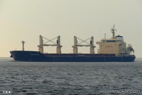
Vessel Merel D IMO: 9740433, MMSI: 215138000 Bulk Carrier
UTC, 14.7852, 164.689, course: 85, speed: 10.7
UTC, 14.8067, 164.947, course: 65, speed: 9.9
2026-02-15 19:35:35 UTC, 14.6856, 165.176, course: 149, speed: 11.3
Live AIS position:
UTC. 191 nm N of Bikini),
updated 2026-02-15 19:35:35 UTC.
Find the position of the vessel Merel D on the map. The latter are known coordinates and path.
marine traffic ship tracker show on live map
The current position of vessel Merel D is 14.6856 lat / 165.176 lng. Updated: 2026-02-15 19:35:35 UTCCurrently sailing under the flag of Malta
Details:
Last coordinates of the vessel:
UTC, 14.7685, 164.357, course: 87, speed: 11.3UTC, 14.7852, 164.689, course: 85, speed: 10.7
UTC, 14.8067, 164.947, course: 65, speed: 9.9
2026-02-15 19:35:35 UTC, 14.6856, 165.176, course: 149, speed: 11.3