 vesseltracker.com
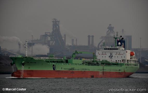
Vessel 'LAVENDER RAY' IMO: 9740794, MMSI: 636019177
UTC, 51.25576, 4.36729, course: 270, speed: 0
UTC, 51.25572, 4.36729, course: 270, speed: 0
2026-02-13 00:05:38 UTC, 51.34601, 4.28835, course: 274, speed: 0
Live AIS position:
UTC. Near Berendrecht),
updated 2026-02-13 00:05:38 UTC.
Find the position of the vessel 'LAVENDER RAY' on the map. The latter are known coordinates and path.
marine traffic ship tracker show on live map
The current position of vessel 'LAVENDER RAY' is 51.34601 lat / 4.28835 lng. Updated: 2026-02-13 00:05:38 UTCDetails:
Last coordinates of the vessel:
UTC, 51.25572, 4.36728, course: 270, speed: 0UTC, 51.25576, 4.36729, course: 270, speed: 0
UTC, 51.25572, 4.36729, course: 270, speed: 0
2026-02-13 00:05:38 UTC, 51.34601, 4.28835, course: 274, speed: 0