 vesseltracker.com
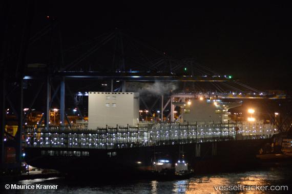
Vessel HMM BLESSING IMO: 9742170, MMSI: 440117000 Container Ship
UTC, -34.30072, -135.45667, course: 279, speed: 17.3
UTC, -34.24270, -136.05772, course: 279, speed: 17.7
2026-02-14 08:34:10 UTC, -34.13153, -137.19797, course: 278, speed: 17.8
Live AIS position:
UTC. Open sea, approx. 537 nm off the nearest listed port),
updated 2026-02-14 08:34:10 UTC.
Find the position of the vessel HMM BLESSING on the map. The latter are known coordinates and path.
marine traffic ship tracker show on live map
The current position of vessel HMM BLESSING is -34.13153 lat / -137.19797 lng. Updated: 2026-02-14 08:34:10 UTCCurrently sailing under the flag of Korea (Republic of)
HMM BLESSING built in 2018 year
Deadweight:
134869 tDetails:
Last coordinates of the vessel:
UTC, -34.36326, -134.82024, course: 278, speed: 16.9UTC, -34.30072, -135.45667, course: 279, speed: 17.3
UTC, -34.24270, -136.05772, course: 279, speed: 17.7
2026-02-14 08:34:10 UTC, -34.13153, -137.19797, course: 278, speed: 17.8