 vesseltracker.com
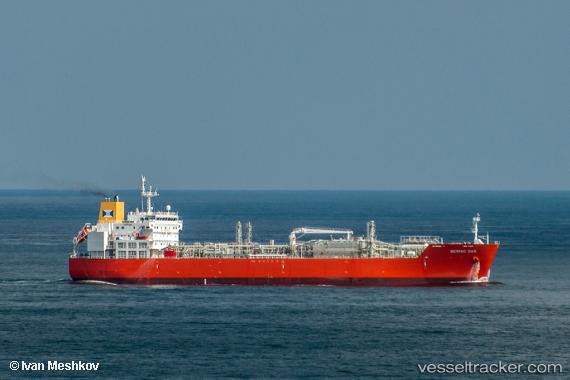
Vessel Bering Gas IMO: 9745536, MMSI: 219672000 Lpg Tanker
UTC, -10.72964, 51.18811, course: 257, speed: 14.6
UTC, -10.90047, 50.63752, course: 254, speed: 14
2026-02-25 15:41:49 UTC, -10.98500, 50.34667, course: -1, speed: 14
Live AIS position:
UTC. 187 nm NE of Nosy-Be),
updated 2026-02-25 15:41:49 UTC.
Find the position of the vessel Bering Gas on the map. The latter are known coordinates and path.
marine traffic ship tracker show on live map
The current position of vessel Bering Gas is -10.98500 lat / 50.34667 lng. Updated: 2026-02-25 15:41:49 UTCDetails:
Last coordinates of the vessel:
UTC, -10.56381, 51.79090, course: 257, speed: 14.2UTC, -10.72964, 51.18811, course: 257, speed: 14.6
UTC, -10.90047, 50.63752, course: 254, speed: 14
2026-02-25 15:41:49 UTC, -10.98500, 50.34667, course: -1, speed: 14