 vesseltracker.com
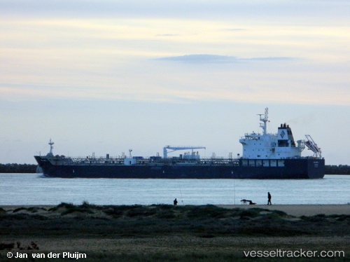
Vessel Willard J IMO: 9749362, MMSI: 538006809 Chemical Oil Products Tanker
UTC, 25.50643, -88.84759, course: 320, speed: 13.2
UTC, 25.50643, -88.84759, course: 320, speed: 13.2
2026-02-17 21:48:27 UTC, 25.97107, -89.13055, course: 329, speed: 12.5
Live AIS position:
UTC. 140 nm SE of Gulfmex Lightering Area),
updated 2026-02-17 21:48:27 UTC.
Find the position of the vessel Willard J on the map. The latter are known coordinates and path.
marine traffic ship tracker show on live map
The current position of vessel Willard J is 25.97107 lat / -89.13055 lng. Updated: 2026-02-17 21:48:27 UTCCurrently sailing under the flag of Marshall Is
Details:
Last coordinates of the vessel:
UTC, 25.27060, -88.63568, course: 318, speed: 11.1UTC, 25.50643, -88.84759, course: 320, speed: 13.2
UTC, 25.50643, -88.84759, course: 320, speed: 13.2
2026-02-17 21:48:27 UTC, 25.97107, -89.13055, course: 329, speed: 12.5