 vesseltracker.com
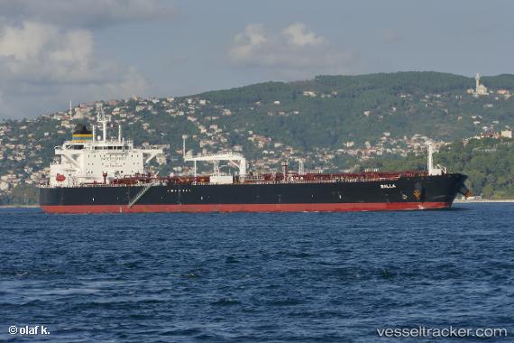
Vessel BALLA IMO: 9749556, MMSI: 636021796 Crude Oil Tanker
UTC, 47.71651, -54.17147, course: -1, speed: 0
UTC, 47.71799, -54.17168, course: 248, speed: 0
2026-02-27 21:37:24 UTC, 47.71814, -54.17169, course: -1, speed: 0
Live AIS position:
UTC. Near WHIFFEN HEAD),
updated 2026-02-27 21:37:24 UTC.
Find the position of the vessel BALLA on the map. The latter are known coordinates and path.
marine traffic ship tracker show on live map
The current position of vessel BALLA is 47.71814 lat / -54.17169 lng. Updated: 2026-02-27 21:37:24 UTCCurrently sailing under the flag of Liberia
BALLA built in 2017 year
Deadweight:
113293 tDetails:
Last coordinates of the vessel:
UTC, 47.71832, -54.17219, course: -1, speed: 0.1UTC, 47.71651, -54.17147, course: -1, speed: 0
UTC, 47.71799, -54.17168, course: 248, speed: 0
2026-02-27 21:37:24 UTC, 47.71814, -54.17169, course: -1, speed: 0