 vesseltracker.com
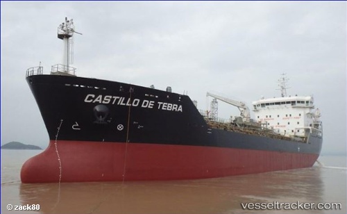
Vessel Castillo De Tebra IMO: 9753636, MMSI: 710031630 Chemical Tanker
UTC, -23.10344, -42.47656, course: 92, speed: 11.6
UTC, -23.11367, -42.15724, course: 90, speed: 11.5
2026-02-16 02:00:53 UTC, -22.96424, -41.73778, course: 51, speed: 10.8
Live AIS position:
UTC. 15 nm SE of Armação dos Búzios),
updated 2026-02-16 02:00:53 UTC.
Find the position of the vessel Castillo De Tebra on the map. The latter are known coordinates and path.
marine traffic ship tracker show on live map
The current position of vessel Castillo De Tebra is -22.96424 lat / -41.73778 lng. Updated: 2026-02-16 02:00:53 UTCDetails:
Last coordinates of the vessel:
UTC, -23.10900, -43.02276, course: 100, speed: 12.2UTC, -23.10344, -42.47656, course: 92, speed: 11.6
UTC, -23.11367, -42.15724, course: 90, speed: 11.5
2026-02-16 02:00:53 UTC, -22.96424, -41.73778, course: 51, speed: 10.8