 vesseltracker.com
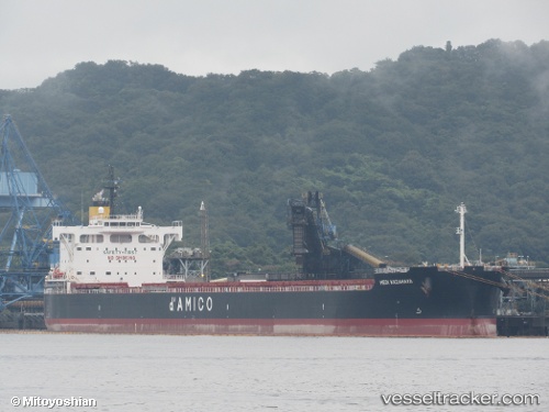
Vessel BELUGA IMO: 9764037, MMSI: 636025754 Cargo
UTC, 12.45294, 63.25670, course: 104, speed: 11.5
UTC, 12.37485, 63.57149, course: 105, speed: 11.3
2026-03-06 19:53:58 UTC, 12.29024, 63.91266, course: 101, speed: 11.6
Live Vessel BELUGA Analytics (details, animations, etc.)
Live AIS position: UTC. 295 nm NW of Tinaquillo), updated 2026-03-06 19:53:58 UTC.Find the position of the vessel BELUGA on the map. The latter are known coordinates and path.
marine traffic ship tracker show on live map
The current position of vessel BELUGA is 12.29024 lat / 63.91266 lng. Updated: 2026-03-06 19:53:58 UTCCurrently sailing under the flag of Liberia
Details:
Last coordinates of the vessel:
UTC, 12.57645, 62.70696, course: 104, speed: 11UTC, 12.45294, 63.25670, course: 104, speed: 11.5
UTC, 12.37485, 63.57149, course: 105, speed: 11.3
2026-03-06 19:53:58 UTC, 12.29024, 63.91266, course: 101, speed: 11.6