 vesseltracker.com
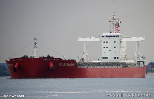
Vessel Mg Explorer IMO: 9767479, MMSI: 374832000 Bulk Carrier
UTC, 30.67296, 125.28606, course: 164, speed: 12.3
UTC, 30.37951, 125.35393, course: 172, speed: 12
2026-02-14 08:05:45 UTC, 29.92333, 125.48500, course: -1, speed: 11
Live AIS position:
UTC. 158 nm E of Lü-hua Shan),
updated 2026-02-14 08:05:45 UTC.
Find the position of the vessel Mg Explorer on the map. The latter are known coordinates and path.
marine traffic ship tracker show on live map
The current position of vessel Mg Explorer is 29.92333 lat / 125.48500 lng. Updated: 2026-02-14 08:05:45 UTCDetails:
Last coordinates of the vessel:
UTC, 31.05707, 125.16887, course: 171, speed: 11.8UTC, 30.67296, 125.28606, course: 164, speed: 12.3
UTC, 30.37951, 125.35393, course: 172, speed: 12
2026-02-14 08:05:45 UTC, 29.92333, 125.48500, course: -1, speed: 11