 vesseltracker.com
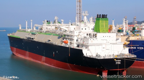
Vessel Myrina IMO: 9770933, MMSI: 311000477 Lng Tanker
UTC, 40.88315, 27.81116, course: 70, speed: 11.9
UTC, 40.99125, 27.98627, course: 19, speed: 0
2026-02-22 15:44:53 UTC, 40.99120, 27.98625, course: 19, speed: 0
Live AIS position:
UTC. Near Marmara Ereglisi),
updated 2026-02-22 15:44:53 UTC.
Find the position of the vessel Myrina on the map. The latter are known coordinates and path.
marine traffic ship tracker show on live map
The current position of vessel Myrina is 40.99120 lat / 27.98625 lng. Updated: 2026-02-22 15:44:53 UTCCurrently sailing under the flag of Bahamas
Details:
Last coordinates of the vessel:
UTC, 40.63540, 27.36088, course: 64, speed: 11.9UTC, 40.88315, 27.81116, course: 70, speed: 11.9
UTC, 40.99125, 27.98627, course: 19, speed: 0
2026-02-22 15:44:53 UTC, 40.99120, 27.98625, course: 19, speed: 0