 vesseltracker.com
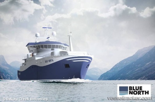
Vessel Blue North IMO: 9772163, MMSI: 367741830 Fishing Vessel
UTC, 56.69877, -167.28789, course: 342, speed: 3.6
UTC, 56.75833, -167.29333, course: -1, speed: 2
2026-02-06 23:42:15 UTC, 56.71189, -167.33409, course: 139, speed: 2.6
Live AIS position:
UTC. 164 nm N of Akutan),
updated 2026-02-06 23:42:15 UTC.
Find the position of the vessel Blue North on the map. The latter are known coordinates and path.
marine traffic ship tracker show on live map
The current position of vessel Blue North is 56.71189 lat / -167.33409 lng. Updated: 2026-02-06 23:42:15 UTCDetails:
Last coordinates of the vessel:
UTC, 56.61665, -167.29581, course: 1, speed: 2.5UTC, 56.69877, -167.28789, course: 342, speed: 3.6
UTC, 56.75833, -167.29333, course: -1, speed: 2
2026-02-06 23:42:15 UTC, 56.71189, -167.33409, course: 139, speed: 2.6