 vesseltracker.com
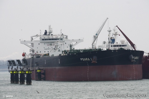
Vessel Psara I IMO: 9772333, MMSI: 248107000 Crude Oil Tanker
UTC, 30.91109, 32.31475, course: 358, speed: 10.6
UTC, 31.28021, 32.36084, course: 12, speed: 10.7
2026-02-21 14:14:27 UTC, 31.51717, 32.24692, course: 317, speed: 11.8
Live AIS position:
UTC. 15 nm N of Port Said),
updated 2026-02-21 14:14:27 UTC.
Find the position of the vessel Psara I on the map. The latter are known coordinates and path.
marine traffic ship tracker show on live map
The current position of vessel Psara I is 31.51717 lat / 32.24692 lng. Updated: 2026-02-21 14:14:27 UTCDetails:
Last coordinates of the vessel:
UTC, 30.49206, 32.35072, course: 349, speed: 7.7UTC, 30.91109, 32.31475, course: 358, speed: 10.6
UTC, 31.28021, 32.36084, course: 12, speed: 10.7
2026-02-21 14:14:27 UTC, 31.51717, 32.24692, course: 317, speed: 11.8