 vesseltracker.com
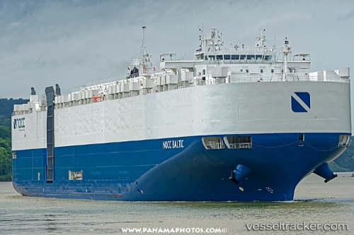
Vessel Liberty Peace IMO: 9777890, MMSI: 368784000 Vehicles Carrier
UTC, 34.15559, -76.10177, course: 49, speed: 13.7
UTC, 34.51177, -75.59064, course: 54, speed: 16.7
2026-02-28 08:21:00 UTC, 35.02649, -75.29500, course: 23, speed: 15.8
Live AIS position:
UTC. 23 nm SE of HATTERAS),
updated 2026-02-28 08:21:00 UTC.
Find the position of the vessel Liberty Peace on the map. The latter are known coordinates and path.
marine traffic ship tracker show on live map
The current position of vessel Liberty Peace is 35.02649 lat / -75.29500 lng. Updated: 2026-02-28 08:21:00 UTCCurrently sailing under the flag of USA
Details:
Last coordinates of the vessel:
UTC, 33.78692, -76.61563, course: 47, speed: 14.6UTC, 34.15559, -76.10177, course: 49, speed: 13.7
UTC, 34.51177, -75.59064, course: 54, speed: 16.7
2026-02-28 08:21:00 UTC, 35.02649, -75.29500, course: 23, speed: 15.8