 vesseltracker.com
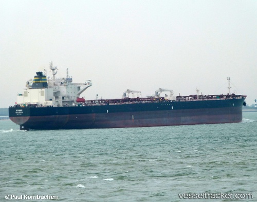
Vessel Ryman IMO: 9777931, MMSI: 249855000 Crude Oil Tanker
UTC, 44.55833, 37.92333, course: -1, speed: 1
UTC, 44.56032, 37.92392, course: 302, speed: 0.5
2026-02-26 09:30:24 UTC, 44.55968, 37.92181, course: 346, speed: 1.2
Live AIS position:
UTC. Near GELENDZHIK),
updated 2026-02-26 09:30:24 UTC.
Find the position of the vessel Ryman on the map. The latter are known coordinates and path.
marine traffic ship tracker show on live map
The current position of vessel Ryman is 44.55968 lat / 37.92181 lng. Updated: 2026-02-26 09:30:24 UTCCurrently sailing under the flag of Malta
Details:
Last coordinates of the vessel:
UTC, 44.50275, 37.34736, course: -1, speed: 23.8UTC, 44.55833, 37.92333, course: -1, speed: 1
UTC, 44.56032, 37.92392, course: 302, speed: 0.5
2026-02-26 09:30:24 UTC, 44.55968, 37.92181, course: 346, speed: 1.2