 vesseltracker.com
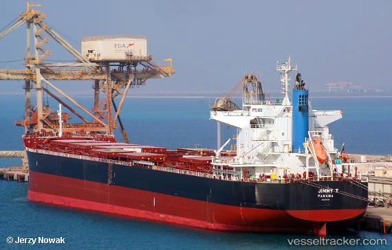
Vessel Jimmy T IMO: 9782118, MMSI: 355109000 Bulk Carrier
UTC, 8.75722, 78.21022, course: 294, speed: 0
UTC, 8.75722, 78.21022, course: 294, speed: 0
2026-02-07 08:15:03 UTC, 8.75723, 78.21022, course: 294, speed: 0
Live AIS position:
UTC. Near New Tuticorin),
updated 2026-02-07 08:15:03 UTC.
Find the position of the vessel Jimmy T on the map. The latter are known coordinates and path.
marine traffic ship tracker show on live map
The current position of vessel Jimmy T is 8.75723 lat / 78.21022 lng. Updated: 2026-02-07 08:15:03 UTCDetails:
Last coordinates of the vessel:
UTC, 8.75724, 78.21023, course: 294, speed: 0UTC, 8.75722, 78.21022, course: 294, speed: 0
UTC, 8.75722, 78.21022, course: 294, speed: 0
2026-02-07 08:15:03 UTC, 8.75723, 78.21022, course: 294, speed: 0