 vesseltracker.com
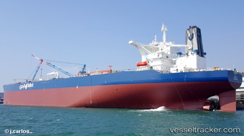
Vessel KHURAIS IMO: 9783679, MMSI: 403632001 Tanker
UTC, 23.95242, 36.78985, course: 145, speed: 13
UTC, 23.70372, 37.02292, course: 140, speed: 13.1
2026-02-27 03:39:02 UTC, 23.42165, 37.44617, course: 116, speed: 13.6
Live AIS position:
UTC. 50 nm SW of Yanbu),
updated 2026-02-27 03:39:02 UTC.
Find the position of the vessel KHURAIS on the map. The latter are known coordinates and path.
marine traffic ship tracker show on live map
The current position of vessel KHURAIS is 23.42165 lat / 37.44617 lng. Updated: 2026-02-27 03:39:02 UTCCurrently sailing under the flag of Saudi Arabia
Details:
Last coordinates of the vessel:
UTC, 24.24928, 36.61758, course: 148, speed: 13.2UTC, 23.95242, 36.78985, course: 145, speed: 13
UTC, 23.70372, 37.02292, course: 140, speed: 13.1
2026-02-27 03:39:02 UTC, 23.42165, 37.44617, course: 116, speed: 13.6