 vesseltracker.com
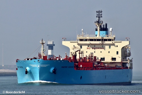
Vessel '219407000' IMO: 9786138, MMSI: 219407000
UTC, 9.42536, -89.71879, course: 297, speed: 13.6
UTC, 9.77452, -90.51492, course: 295, speed: 12.4
2026-02-14 19:22:46 UTC, 9.87351, -90.73644, course: 291, speed: 12.5
Live AIS position:
UTC. 227 nm SW of Masatepe),
updated 2026-02-14 19:22:46 UTC.
Find the position of the vessel '219407000' on the map. The latter are known coordinates and path.
marine traffic ship tracker show on live map
The current position of vessel '219407000' is 9.87351 lat / -90.73644 lng. Updated: 2026-02-14 19:22:46 UTCDetails:
Last coordinates of the vessel:
UTC, 9.20122, -89.23111, course: 296, speed: 13.5UTC, 9.42536, -89.71879, course: 297, speed: 13.6
UTC, 9.77452, -90.51492, course: 295, speed: 12.4
2026-02-14 19:22:46 UTC, 9.87351, -90.73644, course: 291, speed: 12.5