 vesseltracker.com
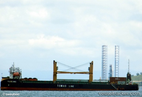
Vessel Palung Mas IMO: 9791755, MMSI: 525022408 Container Ship
UTC, -0.57848, 125.31566, course: -1, speed: 8.4
UTC, -0.57848, 125.31566, course: -1, speed: 8.4
2026-02-14 12:54:00 UTC, -0.57848, 125.31566, course: -1, speed: 8.4
Live AIS position:
UTC. 121 nm S of BITUNG),
updated 2026-02-14 12:54:00 UTC.
Find the position of the vessel Palung Mas on the map. The latter are known coordinates and path.
marine traffic ship tracker show on live map
The current position of vessel Palung Mas is -0.57848 lat / 125.31566 lng. Updated: 2026-02-14 12:54:00 UTCDetails:
Last coordinates of the vessel:
UTC, -0.31584, 125.56415, course: -1, speed: 8.5UTC, -0.57848, 125.31566, course: -1, speed: 8.4
UTC, -0.57848, 125.31566, course: -1, speed: 8.4
2026-02-14 12:54:00 UTC, -0.57848, 125.31566, course: -1, speed: 8.4