 vesseltracker.com
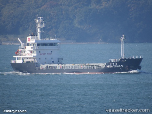
Vessel Keum Yang 2 IMO: 9793313, MMSI: 440711000 General Cargo Ship
UTC, 34.20333, 132.60834, course: -1, speed: 0
UTC, 34.20333, 132.60667, course: -1, speed: 0
2026-03-01 01:17:43 UTC, 34.20333, 132.60667, course: -1, speed: 0
Live AIS position:
UTC. Near Kure),
updated 2026-03-01 01:17:43 UTC.
Find the position of the vessel Keum Yang 2 on the map. The latter are known coordinates and path.
marine traffic ship tracker show on live map
The current position of vessel Keum Yang 2 is 34.20333 lat / 132.60667 lng. Updated: 2026-03-01 01:17:43 UTCCurrently sailing under the flag of Korea
Details:
Last coordinates of the vessel:
UTC, 34.20333, 132.60834, course: -1, speed: 0UTC, 34.20333, 132.60834, course: -1, speed: 0
UTC, 34.20333, 132.60667, course: -1, speed: 0
2026-03-01 01:17:43 UTC, 34.20333, 132.60667, course: -1, speed: 0