 vesseltracker.com
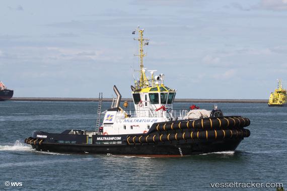
Vessel Multratug 29 IMO: 9795816, MMSI: 244850093 Tug
UTC, 51.33800, 3.81597, course: 160, speed: 0
UTC, 51.44048, 3.68190, course: 315, speed: 8
2026-02-22 05:29:04 UTC, 51.46451, 3.69956, course: 296, speed: 0.2
Live AIS position:
UTC. Near Nieuwdorp),
updated 2026-02-22 05:29:04 UTC.
Find the position of the vessel Multratug 29 on the map. The latter are known coordinates and path.
marine traffic ship tracker show on live map
The current position of vessel Multratug 29 is 51.46451 lat / 3.69956 lng. Updated: 2026-02-22 05:29:04 UTCCurrently sailing under the flag of Netherlands
Details:
Last coordinates of the vessel:
UTC, 51.33801, 3.81596, course: 159, speed: 0UTC, 51.33800, 3.81597, course: 160, speed: 0
UTC, 51.44048, 3.68190, course: 315, speed: 8
2026-02-22 05:29:04 UTC, 51.46451, 3.69956, course: 296, speed: 0.2