 vesseltracker.com
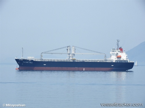
Vessel Pulang Tala IMO: 9798480, MMSI: 548971000 General Cargo Ship
UTC, 29.40667, 122.92500, course: -1, speed: 11
UTC, 29.11381, 122.82610, course: 197, speed: 11
2026-02-05 15:22:19 UTC, 28.81907, 122.76185, course: 193, speed: 11
Live AIS position:
UTC. 48 nm NE of Wenling Longmen Port),
updated 2026-02-05 15:22:19 UTC.
Find the position of the vessel Pulang Tala on the map. The latter are known coordinates and path.
marine traffic ship tracker show on live map
The current position of vessel Pulang Tala is 28.81907 lat / 122.76185 lng. Updated: 2026-02-05 15:22:19 UTCCurrently sailing under the flag of Philippines
Details:
Last coordinates of the vessel:
UTC, 29.90610, 123.08279, course: 201, speed: 12.6UTC, 29.40667, 122.92500, course: -1, speed: 11
UTC, 29.11381, 122.82610, course: 197, speed: 11
2026-02-05 15:22:19 UTC, 28.81907, 122.76185, course: 193, speed: 11