 vesseltracker.com
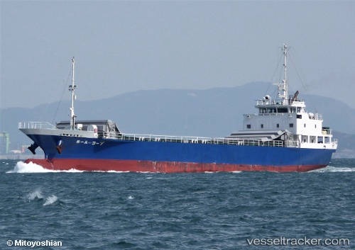
Vessel A Coop No.1 IMO: 9798571, MMSI: 431007574 General Cargo Ship
UTC, 33.31527, 129.54880, course: -1, speed: 11.6
UTC, 33.31527, 129.54880, course: -1, speed: 11.6
2026-02-25 22:08:54 UTC, 33.60960, 130.38933, course: 242, speed: 0
Live AIS position:
UTC. Near Hakata),
updated 2026-02-25 22:08:54 UTC.
Find the position of the vessel A Coop No.1 on the map. The latter are known coordinates and path.
marine traffic ship tracker show on live map
The current position of vessel A Coop No.1 is 33.60960 lat / 130.38933 lng. Updated: 2026-02-25 22:08:54 UTCDetails:
Last coordinates of the vessel:
UTC, 33.31527, 129.54880, course: -1, speed: 11.6UTC, 33.31527, 129.54880, course: -1, speed: 11.6
UTC, 33.31527, 129.54880, course: -1, speed: 11.6
2026-02-25 22:08:54 UTC, 33.60960, 130.38933, course: 242, speed: 0