 vesseltracker.com
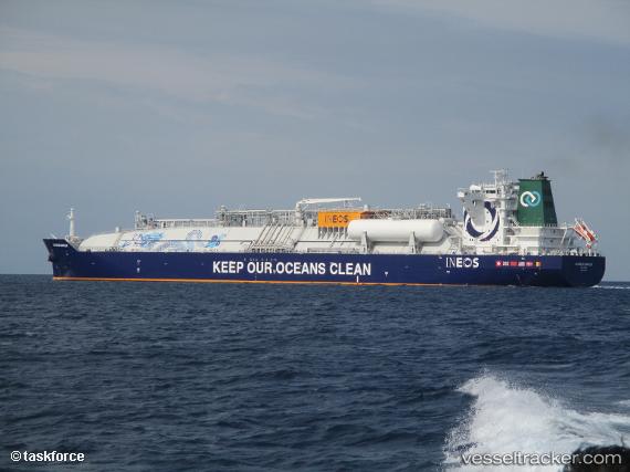
Vessel Js Ineos Marlin IMO: 9799379, MMSI: 215077000 Container Ship
UTC, 18.03333, -171.30167, course: -1, speed: 15
UTC, 18.09352, -171.64702, course: 281, speed: 14.4
2026-02-11 12:33:30 UTC, 18.21042, -172.32436, course: 281, speed: 14.5
Live AIS position:
UTC. 184 nm NW of Johnston Island),
updated 2026-02-11 12:33:30 UTC.
Find the position of the vessel Js Ineos Marlin on the map. The latter are known coordinates and path.
marine traffic ship tracker show on live map
The current position of vessel Js Ineos Marlin is 18.21042 lat / -172.32436 lng. Updated: 2026-02-11 12:33:30 UTCDetails:
Last coordinates of the vessel:
UTC, 17.94658, -170.79691, course: 278, speed: 15UTC, 18.03333, -171.30167, course: -1, speed: 15
UTC, 18.09352, -171.64702, course: 281, speed: 14.4
2026-02-11 12:33:30 UTC, 18.21042, -172.32436, course: 281, speed: 14.5