 vesseltracker.com
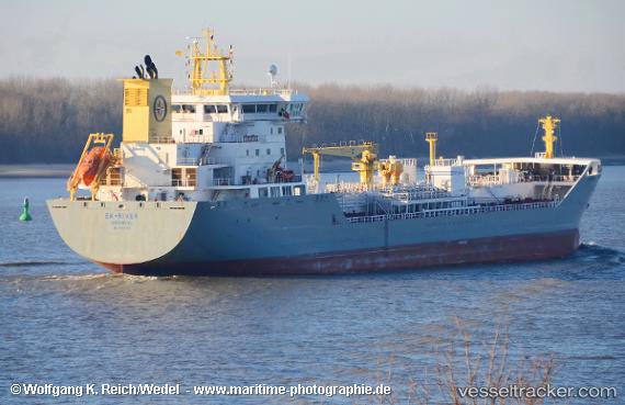
Vessel Ek river IMO: 9808259, MMSI: 257037140 Chemical Tanker
UTC, 47.02708, -59.77422, course: 328, speed: 11.5
UTC, 47.19167, -59.92333, course: -1, speed: 11
2026-02-11 13:31:26 UTC, 47.54167, -60.23333, course: -1, speed: 12
Live AIS position:
UTC. 38 nm W of Cape Ray),
updated 2026-02-11 13:31:26 UTC.
Find the position of the vessel Ek river on the map. The latter are known coordinates and path.
marine traffic ship tracker show on live map
The current position of vessel Ek river is 47.54167 lat / -60.23333 lng. Updated: 2026-02-11 13:31:26 UTCCurrently sailing under the flag of Norway
Details:
Last coordinates of the vessel:
UTC, 46.80904, -59.25908, course: 295, speed: 11.6UTC, 47.02708, -59.77422, course: 328, speed: 11.5
UTC, 47.19167, -59.92333, course: -1, speed: 11
2026-02-11 13:31:26 UTC, 47.54167, -60.23333, course: -1, speed: 12