 vesseltracker.com
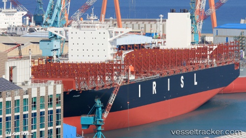
Vessel RADIN IMO: 9820257, MMSI: 422153500
UTC, 21.83734, 113.22249, course: 167, speed: 7.8
UTC, 21.20227, 113.26162, course: 155, speed: 15.5
2026-02-05 05:49:14 UTC, 20.78330, 113.27018, course: 152, speed: 15.2
Live AIS position:
UTC. 56 nm SE of Shadi),
updated 2026-02-05 05:49:14 UTC.
Find the position of the vessel RADIN on the map. The latter are known coordinates and path.
marine traffic ship tracker show on live map
The current position of vessel RADIN is 20.78330 lat / 113.27018 lng. Updated: 2026-02-05 05:49:14 UTCDetails:
Last coordinates of the vessel:
UTC, 21.93473, 113.22267, course: 38, speed: 0UTC, 21.83734, 113.22249, course: 167, speed: 7.8
UTC, 21.20227, 113.26162, course: 155, speed: 15.5
2026-02-05 05:49:14 UTC, 20.78330, 113.27018, course: 152, speed: 15.2