 vesseltracker.com
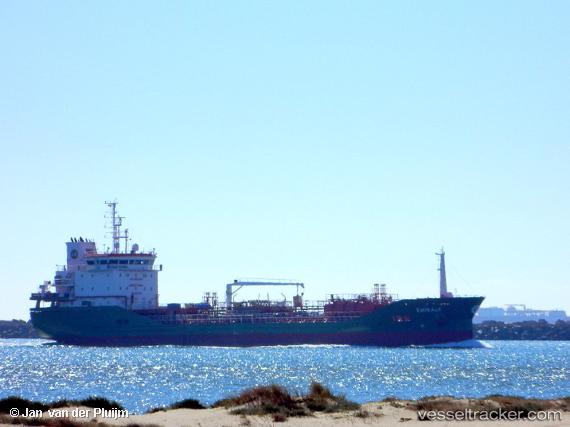
Vessel EMIRALP IMO: 9827724, MMSI: 229447000 Tanker
UTC, 48.89723, -5.35267, course: 60, speed: 10.6
UTC, 48.89723, -5.35267, course: 60, speed: 10.6
2026-02-25 09:29:00 UTC, 49.05235, -4.95219, course: -1, speed: 10.3
Live AIS position:
UTC. 31 nm W of Verzy),
updated 2026-02-25 09:29:00 UTC.
Find the position of the vessel EMIRALP on the map. The latter are known coordinates and path.
marine traffic ship tracker show on live map
The current position of vessel EMIRALP is 49.05235 lat / -4.95219 lng. Updated: 2026-02-25 09:29:00 UTCCurrently sailing under the flag of Malta
Details:
Last coordinates of the vessel:
UTC, 48.75218, -5.62479, course: 41, speed: 10.7UTC, 48.89723, -5.35267, course: 60, speed: 10.6
UTC, 48.89723, -5.35267, course: 60, speed: 10.6
2026-02-25 09:29:00 UTC, 49.05235, -4.95219, course: -1, speed: 10.3