 vesseltracker.com
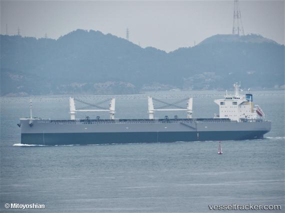
Vessel Mamma Mia IMO: 9846548, MMSI: 636019068 Bulk Carrier
UTC, 23.94069, -146.54987, course: 280, speed: 9.7
UTC, 23.96590, -146.71619, course: 278, speed: 9.8
2026-01-18 12:43:02 UTC, 23.99652, -146.95094, course: 283, speed: 10.1
Live AIS position:
UTC. Open sea, approx. 425 nm off the nearest listed port),
updated 2026-01-18 12:43:02 UTC.
Find the position of the vessel Mamma Mia on the map. The latter are known coordinates and path.
marine traffic ship tracker show on live map
The current position of vessel Mamma Mia is 23.99652 lat / -146.95094 lng. Updated: 2026-01-18 12:43:02 UTCDetails:
Last coordinates of the vessel:
UTC, 23.90871, -146.35695, course: 283, speed: 9.7UTC, 23.94069, -146.54987, course: 280, speed: 9.7
UTC, 23.96590, -146.71619, course: 278, speed: 9.8
2026-01-18 12:43:02 UTC, 23.99652, -146.95094, course: 283, speed: 10.1