 vesseltracker.com
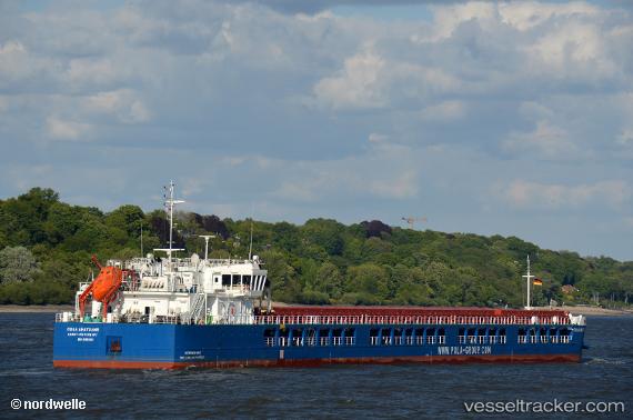
Vessel Pola Anatolia IMO: 9851103, MMSI: 273435200 Multi Purpose Carrier
UTC, 40.37558, 27.99045, course: 194, speed: 0
UTC, 40.37552, 27.99084, course: 220, speed: 0.1
2026-01-30 09:40:49 UTC, 40.37395, 27.99245, course: 279, speed: 0
Live AIS position:
UTC. Near Erdek),
updated 2026-01-30 09:40:49 UTC.
Find the position of the vessel Pola Anatolia on the map. The latter are known coordinates and path.
marine traffic ship tracker show on live map
The current position of vessel Pola Anatolia is 40.37395 lat / 27.99245 lng. Updated: 2026-01-30 09:40:49 UTCCurrently sailing under the flag of Russia
Details:
Last coordinates of the vessel:
UTC, 40.37556, 27.99023, course: 184, speed: 0UTC, 40.37558, 27.99045, course: 194, speed: 0
UTC, 40.37552, 27.99084, course: 220, speed: 0.1
2026-01-30 09:40:49 UTC, 40.37395, 27.99245, course: 279, speed: 0