 vesseltracker.com
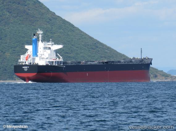
Vessel Harriet P IMO: 9852808, MMSI: 355520000 Bulk Carrier
UTC, -40.98667, 27.58667, course: -1, speed: 12
UTC, -40.87730, 27.94548, course: 67, speed: 13.2
2026-02-12 12:09:51 UTC, -40.65430, 28.67571, course: 69, speed: 13.3
Live AIS position:
UTC. Open sea, approx. 416 nm off the nearest listed port),
updated 2026-02-12 12:09:51 UTC.
Find the position of the vessel Harriet P on the map. The latter are known coordinates and path.
marine traffic ship tracker show on live map
The current position of vessel Harriet P is -40.65430 lat / 28.67571 lng. Updated: 2026-02-12 12:09:51 UTCDetails:
Last coordinates of the vessel:
UTC, -41.13500, 27.10667, course: -1, speed: 12UTC, -40.98667, 27.58667, course: -1, speed: 12
UTC, -40.87730, 27.94548, course: 67, speed: 13.2
2026-02-12 12:09:51 UTC, -40.65430, 28.67571, course: 69, speed: 13.3