 vesseltracker.com
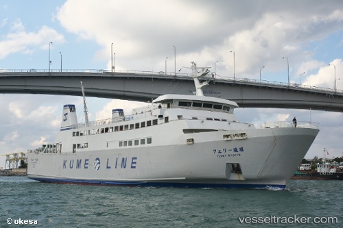
Vessel Ferry Ryukyu IMO: 9630470, MMSI: 431003687 Passenger Ro Ro Cargo Ship
Live AIS position:
UTC. Near Kumejima),
updated 2026-01-28 13:28:49 UTC.
Find the position of the vessel Ferry Ryukyu on the map. The latter are known coordinates and path.
marine traffic ship tracker show on live map
The current position of vessel Ferry Ryukyu is 26.34094 lat / 126.75274 lng. Updated: 2026-01-28 13:28:49 UTCDetails:
Last coordinates of the vessel:
2026-01-28 13:28:49 UTC, 26.34094, 126.75274, course: 316, speed: 0