 vesseltracker.com
Find the position of the vessel Te Manu on the map. The latter are known coordinates and path.
marine traffic ship tracker show on live map
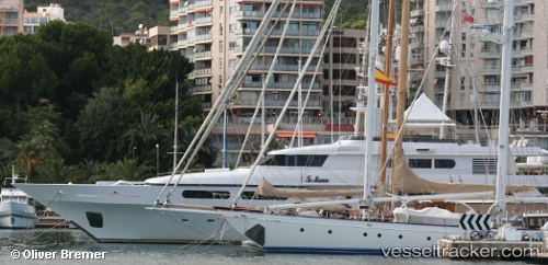
The current position of vessel Te Manu is 18.3617 lat / -64.7517 lng. Updated: 2024-05-19 17:30:56 UTCCurrently sailing under the flag of Cayman Is
Te Manu built in 1998 year
Port of registry:
George Town (city situated on Grand Cayman island of the Cayman Islands; capital of the Cayman Islands)Deadweight:
110 tPayload_mass:
110 tonneGross tonnage:
612Service entry:
1998-01-01T00:00:00ZManufacturer:
Cantieri Navali Codecasa (Italian luxury super yacht building firm)Details:
Last coordinates of the vessel:
UTC, 18.3633, -64.7531, course: 102, speed: 0.1UTC, 18.3633, -64.7517, course: -1, speed: 0
UTC, 18.3633, -64.7517, course: -1, speed: 0
2024-05-19 17:30:56 UTC, 18.3617, -64.7517, course: -1, speed: 0