 vesseltracker.com
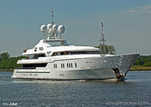
Find the position of the vessel Maria on the map. The latter are known coordinates and path.
marine traffic ship tracker show on live map
The current position of vessel Maria is 12.5806 lat / -61.4408 lng. Updated: 2024-05-03 11:12:51 UTCPort of registry:
George Town (city situated on Grand Cayman island of the Cayman Islands; capital of the Cayman Islands)Gross tonnage:
1200Service entry:
2007-01-01T00:00:00ZDetails:
Last coordinates of the vessel:
UTC, 12.5806, -61.4408, course: 165, speed: 0.4UTC, 12.5806, -61.4408, course: 165, speed: 0.4
UTC, 12.5806, -61.4408, course: 165, speed: 0.4
2024-05-03 11:12:51 UTC, 12.5806, -61.4408, course: 165, speed: 0.4