 vesseltracker.com
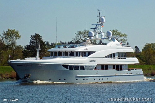
Find the position of the vessel LADY B on the map. The latter are known coordinates and path.
marine traffic ship tracker show on live map
The current position of vessel LADY B is 26.0611 lat / -80.1337 lng. Updated: 2024-05-01 02:31:21 UTCCurrently sailing under the flag of Marshall Islands
LADY B built in 2008 year
Port of registry:
George Town (city situated on Grand Cayman island of the Cayman Islands; capital of the Cayman Islands)Deadweight:
183 tPayload_mass:
183 tonneGross tonnage:
812Service entry:
2008-01-01T00:00:00ZDetails:
Last coordinates of the vessel:
UTC, 26.0611, -80.1337, course: 256, speed: 0UTC, 26.0611, -80.1337, course: 256, speed: 0
UTC, 26.0611, -80.1337, course: 256, speed: 0
2024-05-01 02:31:21 UTC, 26.0611, -80.1337, course: 256, speed: 0