 vesseltracker.com
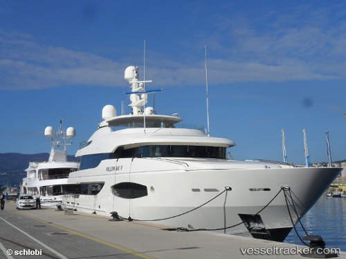
Find the position of the vessel '215981000' on the map. The latter are known coordinates and path.
marine traffic ship tracker show on live map
The current position of vessel '215981000' is 45.3254 lat / 14.4413 lng. Updated: 2024-05-04 09:21:08 UTCPort of registry:
Douglas (capital city of the Isle of Man)Gross tonnage:
491Service entry:
2011-01-01T00:00:00ZDetails:
Last coordinates of the vessel:
UTC, 45.3254, 14.4413, course: 208, speed: 0UTC, 45.3254, 14.4413, course: 208, speed: 0
UTC, 45.3254, 14.4413, course: 208, speed: 0
2024-05-04 09:21:08 UTC, 45.3254, 14.4413, course: 207, speed: 0