 vesseltracker.com
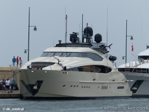
 STEALTH
Current Status
Where is the vessel?
STEALTH is currently in 46 nm SW of Freeport, based on AIS data received about 2h ago.
Latest AIS update:
Current position: 25.83404° N, 79.18425° W (46 nm SW of Freeport)
Average speed (last 7 days): Loading…
Average speed (last 30 days): Loading…
Vessel profile: STEALTH is a Yacht with dimensions m x m.
This page combines live AIS, route history, probable destination signals, nearby traffic, and port activity for practical vessel monitoring.
The current position of vessel STEALTH is 25.83404 lat / -79.18425 lng. Updated: 2026-03-26 03:37:58 UTCNearest reference points:
- 44 nm E of Surfside
- 44 nm S of Freeport
- Near Fort Lauderdale
Currently sailing under the flag of Cayman Islands ![]()
Details:
Live Vessel STEALTH Analytics (details, animations, etc.)
Recent AIS points (UTC):
2026-03-25 22:02:29 UTC · 26.13894, -80.10829 · SOG 0.9 kn · COG 182°2026-03-25 23:22:59 UTC · 26.09358, -80.05904 · SOG 11.1 kn · COG 109°
2026-03-26 02:18:49 UTC · 25.94167, -79.45833 · SOG 11 kn · COG -1°
2026-03-26 03:37:58 UTC · 25.83404, -79.18425 · SOG 12.3 kn · COG 105°