 vesseltracker.com
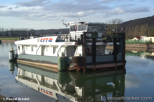
 ADELAAR
Current Status
Where is the vessel?
ADELAAR is currently in Near Zwartewaal, based on AIS data received about 1h ago.
Latest AIS update:
Current position: 51.89349° N, 4.22408° E (Near Zwartewaal)
Average speed (last 7 days): Loading…
Average speed (last 30 days): Loading…
Vessel profile: ADELAAR is a Cargo with dimensions m x m.
This page combines live AIS, route history, probable destination signals, nearby traffic, and port activity for practical vessel monitoring.
The current position of vessel ADELAAR is 51.89349 lat / 4.22408 lng. Updated: 2026-03-25 18:21:32 UTCNearest reference points:
- Near Zwartewaal
- Near Maassluis
- Near BRIELLE
Currently sailing under the flag of Netherlands ![]()
Details:
Live Vessel ADELAAR Analytics (details, animations, etc.)
Recent AIS points (UTC):
2026-03-25 11:41:11 UTC · 51.89758, 4.41537 · SOG 0 kn · COG -1°2026-03-25 14:17:45 UTC · 51.89925, 4.40646 · SOG 10.2 kn · COG 252°
2026-03-25 15:49:35 UTC · 51.86581, 4.26583 · SOG 9.7 kn · COG 274°
2026-03-25 18:21:32 UTC · 51.89349, 4.22408 · SOG 7.8 kn · COG 148°