 vesseltracker.com
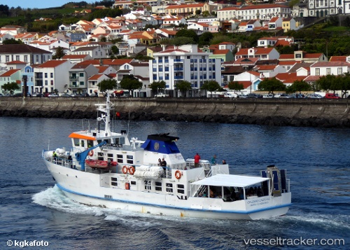
Vessel Cruzeiro Das Ilhas IMO: 8616001, MMSI: 204701240 Passenger Ship
UTC, 38.54049, -28.62093, course: -1, speed: 0.5
UTC, 38.54049, -28.62093, course: -1, speed: 0.5
2026-01-15 17:41:20 UTC, 38.54049, -28.62093, course: -1, speed: 0.5
Live AIS position:
UTC. Near Horta),
updated 2026-01-15 17:41:20 UTC.
Find the position of the vessel Cruzeiro Das Ilhas on the map. The latter are known coordinates and path.
marine traffic ship tracker show on live map
The current position of vessel Cruzeiro Das Ilhas is 38.54049 lat / -28.62093 lng. Updated: 2026-01-15 17:41:20 UTCCurrently sailing under the flag of Portugal
Cruzeiro Das Ilhas built in 1987 year
Deadweight:
45 tDetails:
Last coordinates of the vessel:
UTC, 38.53819, -28.53500, course: 152, speed: 12.6UTC, 38.54049, -28.62093, course: -1, speed: 0.5
UTC, 38.54049, -28.62093, course: -1, speed: 0.5
2026-01-15 17:41:20 UTC, 38.54049, -28.62093, course: -1, speed: 0.5