 vesseltracker.com
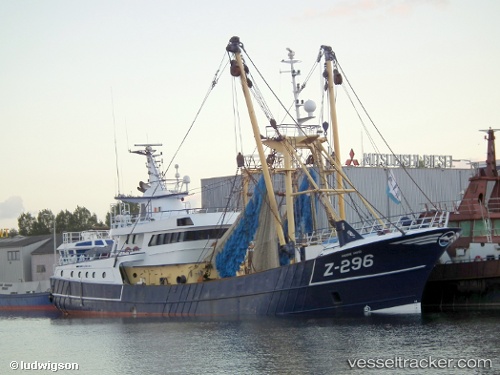
Vessel Z 296 IMO: 9242807, MMSI: 205303000 Fishing Vessel
UTC, 50.61582, 0.73744, course: 266, speed: 11.3
UTC, 50.54571, 0.23102, course: 259, speed: 11.6
2026-03-03 06:16:02 UTC, 50.46988, -0.33593, course: 260, speed: 8.9
Live AIS position:
UTC. 20 nm S of Ferring),
updated 2026-03-03 06:16:02 UTC.
Find the position of the vessel Z 296 on the map. The latter are known coordinates and path.
marine traffic ship tracker show on live map
The current position of vessel Z 296 is 50.46988 lat / -0.33593 lng. Updated: 2026-03-03 06:16:02 UTCDetails:
Last coordinates of the vessel:
UTC, 50.74164, 1.55053, course: 248, speed: 10UTC, 50.61582, 0.73744, course: 266, speed: 11.3
UTC, 50.54571, 0.23102, course: 259, speed: 11.6
2026-03-03 06:16:02 UTC, 50.46988, -0.33593, course: 260, speed: 8.9