 vesseltracker.com
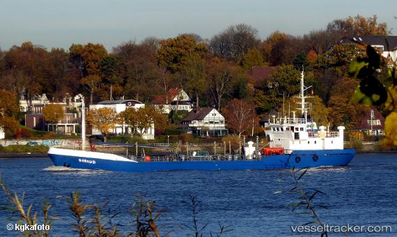
Vessel Sirius IMO: 9797618, MMSI: 205737000 Utility Vessel
UTC, 51.25675, 2.90121, course: 324, speed: 11.2
UTC, 51.38850, 3.13685, course: 117, speed: 10
2026-03-02 12:07:46 UTC, 51.40432, 3.30922, course: 84, speed: 11.9
Live AIS position:
UTC. Near Knokke/Het Zoute),
updated 2026-03-02 12:07:46 UTC.
Find the position of the vessel Sirius on the map. The latter are known coordinates and path.
marine traffic ship tracker show on live map
The current position of vessel Sirius is 51.40432 lat / 3.30922 lng. Updated: 2026-03-02 12:07:46 UTCCurrently sailing under the flag of Belgium
Details:
Last coordinates of the vessel:
UTC, 51.23011, 2.92795, course: 147, speed: 0UTC, 51.25675, 2.90121, course: 324, speed: 11.2
UTC, 51.38850, 3.13685, course: 117, speed: 10
2026-03-02 12:07:46 UTC, 51.40432, 3.30922, course: 84, speed: 11.9