 vesseltracker.com
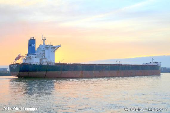
Vessel Cape Breeze IMO: 9518919, MMSI: 209596000 Bulk Carrier
UTC, 20.27478, 86.67877, course: 208, speed: 0
UTC, 20.27480, 86.67877, course: 208, speed: 0
2026-02-02 18:21:40 UTC, 20.27480, 86.67877, course: 208, speed: 0.1
Live AIS position:
UTC. Near Paradip),
updated 2026-02-02 18:21:40 UTC.
Find the position of the vessel Cape Breeze on the map. The latter are known coordinates and path.
marine traffic ship tracker show on live map
The current position of vessel Cape Breeze is 20.27480 lat / 86.67877 lng. Updated: 2026-02-02 18:21:40 UTCCurrently sailing under the flag of Cyprus
Cape Breeze built in 2010 year
Deadweight:
180203 tDetails:
Last coordinates of the vessel:
UTC, 20.27482, 86.67873, course: 208, speed: 0UTC, 20.27478, 86.67877, course: 208, speed: 0
UTC, 20.27480, 86.67877, course: 208, speed: 0
2026-02-02 18:21:40 UTC, 20.27480, 86.67877, course: 208, speed: 0.1