 vesseltracker.com
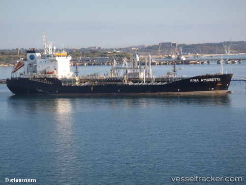
Vessel RINA IMO: 9152820, MMSI: 210051000 Chemical/Oil Products Tanker
UTC, 57.68850, 10.68412, course: 68, speed: 11
UTC, 57.84008, 10.22258, course: 236, speed: 9.4
2026-02-02 15:55:47 UTC, 57.68850, 9.76593, course: 227, speed: 9.5
Live AIS position:
UTC. Near Hirtshals),
updated 2026-02-02 15:55:47 UTC.
Find the position of the vessel RINA on the map. The latter are known coordinates and path.
marine traffic ship tracker show on live map
The current position of vessel RINA is 57.68850 lat / 9.76593 lng. Updated: 2026-02-02 15:55:47 UTCCurrently sailing under the flag of Cyprus
RINA built in 1997 year
Deadweight:
12008 tDetails:
Last coordinates of the vessel:
UTC, 57.68429, 10.61172, course: 134, speed: 0.2UTC, 57.68850, 10.68412, course: 68, speed: 11
UTC, 57.84008, 10.22258, course: 236, speed: 9.4
2026-02-02 15:55:47 UTC, 57.68850, 9.76593, course: 227, speed: 9.5