 vesseltracker.com
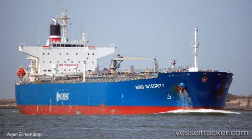
Vessel '210107000' IMO: 9568031, MMSI: 210107000
UTC, 9.22593, -79.92345, course: 358, speed: 5.7
UTC, 9.27755, -79.92267, course: 8, speed: 2
2026-01-29 14:21:01 UTC, 9.64902, -79.96915, course: 342, speed: 9
Live AIS position:
UTC. 17 nm NW of Bahía Las Minas),
updated 2026-01-29 14:21:01 UTC.
Find the position of the vessel '210107000' on the map. The latter are known coordinates and path.
marine traffic ship tracker show on live map
The current position of vessel '210107000' is 9.64902 lat / -79.96915 lng. Updated: 2026-01-29 14:21:01 UTCDetails:
Last coordinates of the vessel:
UTC, 9.08997, -79.68124, course: 332, speed: 7.9UTC, 9.22593, -79.92345, course: 358, speed: 5.7
UTC, 9.27755, -79.92267, course: 8, speed: 2
2026-01-29 14:21:01 UTC, 9.64902, -79.96915, course: 342, speed: 9