 vesseltracker.com
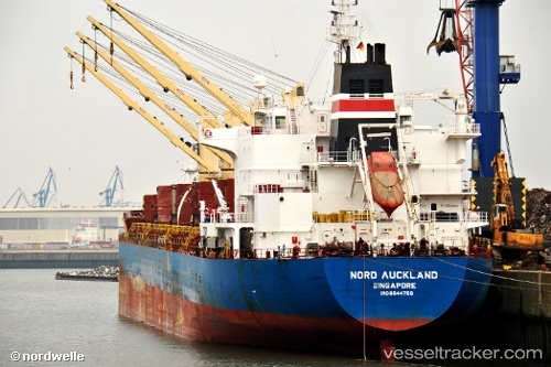
Vessel ALYTUS IMO: 9544750, MMSI: 210355000 Bulk Carrier
UTC, 54.98670, -1.45026, course: 254, speed: 0
UTC, 54.98669, -1.45028, course: 254, speed: 0
2026-02-07 11:38:56 UTC, 54.98670, -1.45023, course: 254, speed: 0
Live AIS position:
UTC. Near TYNE),
updated 2026-02-07 11:38:56 UTC.
Find the position of the vessel ALYTUS on the map. The latter are known coordinates and path.
marine traffic ship tracker show on live map
The current position of vessel ALYTUS is 54.98670 lat / -1.45023 lng. Updated: 2026-02-07 11:38:56 UTCCurrently sailing under the flag of Cyprus
ALYTUS built in 2011 year
Deadweight:
36782 tDetails:
Last coordinates of the vessel:
UTC, 54.98670, -1.45022, course: 254, speed: 0UTC, 54.98670, -1.45026, course: 254, speed: 0
UTC, 54.98669, -1.45028, course: 254, speed: 0
2026-02-07 11:38:56 UTC, 54.98670, -1.45023, course: 254, speed: 0