 vesseltracker.com
Find the position of the vessel NAOMI B on the map. The latter are known coordinates and path.
marine traffic ship tracker show on live map
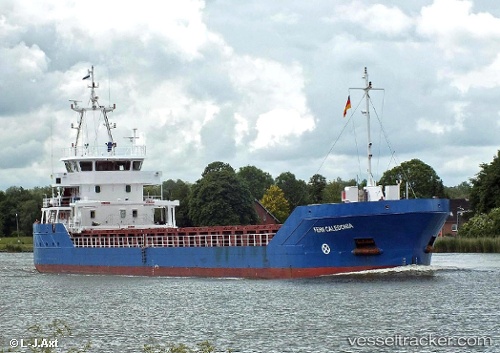
The current position of vessel NAOMI B is 50.8281 lat / -0.207048 lng. Updated: 2024-05-01 02:23:37 UTCCurrently sailing under the flag of Cyprus
NAOMI B built in 2013 year
Port of registry:
Saint John's (capital city of Antigua and Barbuda)Deadweight:
2589 tGross tonnage:
1934Service entry:
2013-01-01T00:00:00ZDetails:
Last coordinates of the vessel:
UTC, 50.8281, -0.207053, course: 105, speed: 0UTC, 50.8281, -0.207028, course: 105, speed: 0
UTC, 50.8281, -0.207027, course: 105, speed: 0
2024-05-01 02:23:37 UTC, 50.8281, -0.207048, course: 105, speed: 0