 vesseltracker.com
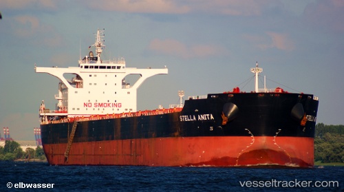
Vessel MICHALIS H IMO: 9637791, MMSI: 210439000 Bulk Carrier
UTC, 2.49833, 89.45833, course: -1, speed: 11
UTC, 2.16825, 88.98090, course: 232, speed: 11.5
2026-02-01 05:23:47 UTC, 2.03942, 88.78605, course: 232, speed: 11.4
Live AIS position:
UTC. 307 nm SE of Abakaliki),
updated 2026-02-01 05:23:47 UTC.
Find the position of the vessel MICHALIS H on the map. The latter are known coordinates and path.
marine traffic ship tracker show on live map
The current position of vessel MICHALIS H is 2.03942 lat / 88.78605 lng. Updated: 2026-02-01 05:23:47 UTCCurrently sailing under the flag of Cyprus
MICHALIS H built in 2012 year
Deadweight:
180355 tDetails:
Last coordinates of the vessel:
UTC, 2.63833, 89.66500, course: -1, speed: 11UTC, 2.49833, 89.45833, course: -1, speed: 11
UTC, 2.16825, 88.98090, course: 232, speed: 11.5
2026-02-01 05:23:47 UTC, 2.03942, 88.78605, course: 232, speed: 11.4