 vesseltracker.com
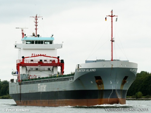
Vessel HELME IMO: 9504140, MMSI: 210504000 General Cargo Ship
UTC, 55.60076, 12.48432, course: 96, speed: 0
UTC, 55.60076, 12.48432, course: 95, speed: 0.1
2026-02-23 14:07:57 UTC, 55.60076, 12.48431, course: 96, speed: 0.1
Live AIS position:
UTC. Near AVEDORE),
updated 2026-02-23 14:07:57 UTC.
Find the position of the vessel HELME on the map. The latter are known coordinates and path.
marine traffic ship tracker show on live map
The current position of vessel HELME is 55.60076 lat / 12.48431 lng. Updated: 2026-02-23 14:07:57 UTCCurrently sailing under the flag of Cyprus
HELME built in 2011 year
Deadweight:
11023 tDetails:
Last coordinates of the vessel:
UTC, 55.60076, 12.48432, course: 96, speed: 0.1UTC, 55.60076, 12.48432, course: 96, speed: 0
UTC, 55.60076, 12.48432, course: 95, speed: 0.1
2026-02-23 14:07:57 UTC, 55.60076, 12.48431, course: 96, speed: 0.1