 vesseltracker.com
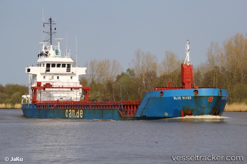
Vessel Fri Karmsund IMO: 9211066, MMSI: 210852000 Multi Purpose Carrier
UTC, 55.04113, -7.26445, course: 46, speed: 0
UTC, 55.04113, -7.26445, course: 46, speed: 0
2026-03-02 22:11:00 UTC, 55.04113, -7.26445, course: 46, speed: 0
Live AIS position:
UTC. Near Maydown),
updated 2026-03-02 22:11:00 UTC.
Find the position of the vessel Fri Karmsund on the map. The latter are known coordinates and path.
marine traffic ship tracker show on live map
The current position of vessel Fri Karmsund is 55.04113 lat / -7.26445 lng. Updated: 2026-03-02 22:11:00 UTCCurrently sailing under the flag of Cyprus
Fri Karmsund built in 1999 year
Deadweight:
4935 tDetails:
Last coordinates of the vessel:
UTC, 55.04113, -7.26445, course: 46, speed: 0UTC, 55.04113, -7.26445, course: 46, speed: 0
UTC, 55.04113, -7.26445, course: 46, speed: 0
2026-03-02 22:11:00 UTC, 55.04113, -7.26445, course: 46, speed: 0