 vesseltracker.com
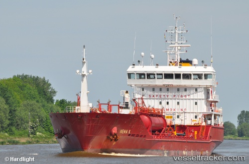
Vessel Gunga IMO: 9479668, MMSI: 210855000 Chemical Oil Products Tanker
UTC, 53.85989, 6.43440, course: 253, speed: 11.1
UTC, 53.75103, 5.87165, course: 249, speed: 12
2026-01-17 23:41:00 UTC, 53.73602, 5.79955, course: 248, speed: 12.2
Live AIS position:
UTC. 19 nm W of Town Quays/Drogheda),
updated 2026-01-17 23:41:00 UTC.
Find the position of the vessel Gunga on the map. The latter are known coordinates and path.
marine traffic ship tracker show on live map
The current position of vessel Gunga is 53.73602 lat / 5.79955 lng. Updated: 2026-01-17 23:41:00 UTCCurrently sailing under the flag of Cyprus
Gunga built in 2009 year
Deadweight:
6480 tDetails:
Last coordinates of the vessel:
UTC, 53.90465, 6.75607, course: 257, speed: 10.4UTC, 53.85989, 6.43440, course: 253, speed: 11.1
UTC, 53.75103, 5.87165, course: 249, speed: 12
2026-01-17 23:41:00 UTC, 53.73602, 5.79955, course: 248, speed: 12.2